The BRIMAP plugin for Agisoft Metashape is built for large projects made up of many flights. It takes the survey from photo import to the accuracy report and products — within a single run, with no manual work between steps.
Some features are completely free — the processing pipeline with optimized photo matching, the PDF accuracy report, photo import, height conversion and project boundary creation work without a license. Details
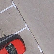
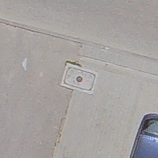
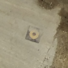
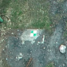
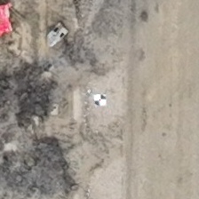
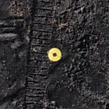
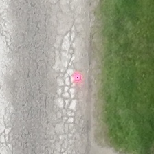
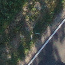
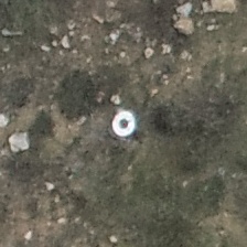
Painted targets, parking lines, manholes, Ø 10 cm circles — from 5 × 5 px in the photo. No printed coded targets needed.
Independent check points and gross error detection: erroneous GCPs and RTK camera positions.
Camera calibration and camera position accuracies estimated separately for each flight. Repeatable results.
Import → alignment → report → orthomosaic. Optimized Metashape parameters shorten processing time.
Automatic detection in Agisoft Metashape supports coded targets, which must be several dozen pixels wide in the photo. At a typical GSD of 1–2 cm this means printing or painting targets 0.5–1 m across. That is why painted targets are still marked manually in practice. BRIMAP detects them automatically — including small targets and existing features.


Coded target requirements according to the Agisoft documentation (central circle radius min. 4–5 px) and the experience of Metashape users. More target types — see “GCP types”.
BRIMAP's flagship product — a plugin for Agisoft Metashape. Each module solves a different problem of UAV processing, and the processing pipeline combines them into a single run.
AI models find and locate GCPs on all photos — regardless of target type, color or ground, including existing features and targets only a few pixels in size. After fitting the block, BRIMAP completes missing projections.
A single erroneous GCP or a photo with a wrong RTK solution can distort the whole block. BRIMAP detects both kinds of errors, and what it should not correct on its own — e.g. a shift of a whole flight — it reports in the summary. Fast mode (default) or accurate mode with full analysis; cross-validation for corridor flights.
Observation accuracies estimated from the block data — separately for each flight — GCP count selection and a rolling shutter model check. Flights with different GNSS quality do not distort the common block, and the same project always gives the same result.
The whole survey as a sequence of BRIMAP and Metashape steps: import, photo matching, GCP detection, optimization, report, point cloud, DEM, orthomosaic and export. For one chunk or the whole project — without operator intervention.
A PDF report with GCP/CP statistics, error vectors and an accuracy class assessment — also against the class expected from GSD. The processing history records every step in the project: parameters, results, times and the chunk state before → after.
Tools supporting the everyday survey workflow — from importing flights to height conversion.
Automatic GCP detection
The “BRIMAP – alignment with full accuracy analysis” template runs the steps below for one or many chunks, and “BRIMAP – fast alignment” runs a version focused on shorter time (without iterative optimization, best for RTK flights). Each step can be adjusted, disabled or saved as your own template.
Photos from subfolders as separate calibration groups, separate areas in separate chunks, GCPs from a file, CRS unification and height conversion.
Photo matching and adding unaligned photos. A stop criterion when too few photos align.
GCP detection, rejection of erroneous GCPs, lower weight for photos with an erroneous RTK position, GCP / CP split.
Observation accuracies from the block data — separately for each flight — GCP count selection, rolling shutter check.
PDF report with an accuracy class assessment — also against the class expected from GSD — a history entry and an e-mail notification.
Point cloud, DEM, orthomosaic and export clipped to the project boundary.
Each step can have a run condition and a stop criterion — e.g. “CP accuracy class ≥ required → stop chunk”. The point cloud, DEM and orthomosaic are then produced only for blocks that meet the requirements. The result of each step goes into the chunk's processing history.
We check every release on real UAV projects into which we introduce errors of known size. We check two things: whether BRIMAP detects the error and whether it leaves correct data alone.
Test projects: 7 (nadir and oblique 30–45°, RTK and navigation-grade GNSS) · photos in total: 17,904 · GSD 2.0–3.5 cm/px
GCP detection in BRIMAP is based on proprietary neural networks, trained and validated on tens of thousands of real photos from survey projects.
The models were trained on an extensive dataset covering a wide variety of GCP types, lighting conditions, flight heights and ground types.
Model performance verified on an independent test set — data the models did not see during training.
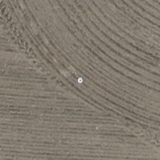
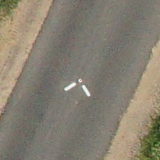
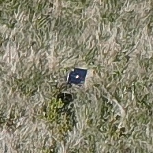
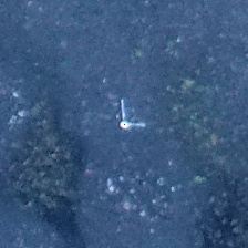
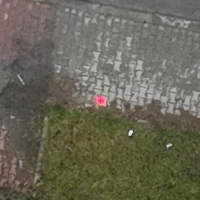
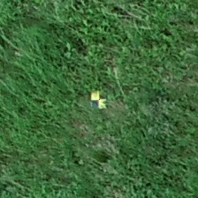
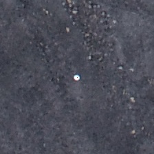
BRIMAP recognizes a wide range of GCPs and colors — painted targets, infrastructure features and dedicated checkerboard and circular targets. Below are examples from real projects.
Right after the flight you run the whole workflow within a single pipeline run. Photogrammetric products are ready in tens of minutes — and you keep full control over every stage. A local license, no cloud. Pricing applies to the Metashape plugin; custom solutions are quoted individually.
The free version comes with the plugin — no license and no time limit. An annual or perpetual license unlocks the premium features.
| Feature | Free | With license |
|---|---|---|
| In the free version | ||
| Processing pipelineMetashape and BRIMAP steps, including optimized photo matching, products and export | ✓ | ✓ |
| Photo and GCP importSeparate calibration groups for flights, coordinate system unification | ✓ | ✓ |
| Height conversionEllipsoidal ↔ orthometric/normal, geoid models of many countries, operation log and protection against double conversion | ✓ | ✓ |
| PDF accuracy report and processing historyAccuracy class, GCP / CP statistics, history of the operations on the chunk | ✓ | ✓ |
| Project boundaryFrom camera positions | ✓ | ✓ |
| Premium features | ||
| GCP detectionAI models; fast mode and accurate mode with full analysis | — | ✓ |
| Gross error checkErroneous GCPs and RTK photo positions, GCP / CP split | — | ✓ |
| Iterative alignment optimizationObservation accuracies from the block data, number of GCPs, Rolling Shutter check | — | ✓ |
| Vector projection onto photosLines and points from vector layers drawn on the photos | — | ✓ |
| E-mail notifications from the pipelineProcessing result and accuracy class when the pipeline finishes | — | ✓ |
We are working on buying licenses directly on the website with online payment. If you want to buy a license now, please contact us by e-mail.
No credit card. No commitment.
You will receive the license key and the download link by e-mail right away.
BRIMAP builds solutions for surveying that use photogrammetry, artificial intelligence and advanced algorithms. The plugin for Agisoft Metashape is our first product — and the first step towards a broader portfolio of tools that streamline the everyday work of surveyors and photogrammetrists.
BRIMAP is a project of Dr. Eng. Paweł Wiącek — a surveyor and researcher with over 8 years of experience in drone photogrammetry and AI applications for spatial data. This combination of commercial practice, research and a PhD from AGH University of Krakow is the foundation for solutions that actually work in everyday surveys — not just in laboratory conditions.
Besides our own products, we also deliver custom projects — dedicated tools, AI models and algorithms tailored to the specific needs of your company or a single project. From point cloud classification and object detection on orthomosaics to complete automation of spatial data processing.
Let's talk about your project